Horseback routing
Overview
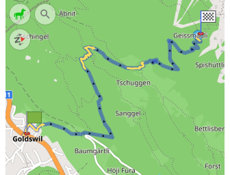
Horseback routing can be useful for equestrians, who want to plan their rides on paths and trails that are safe and suitable for horses. With help of this type of routing you may also discover new routes that haven't been already known about otherwise.
Horseback routing can be configured according to your needs in the Route parameters section of the Navigation settings.
Route Parameters - Horse
note
By default, Horseback riding profile is deactivated. To use this profile for routing, you need to switch it on in Menu → Settings → App profiles.
Horseback routing is designed to provide equestrians with information about horse-friendly paths, bridleways, and riding trails.
- Android
- iOS
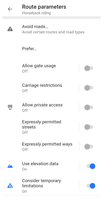
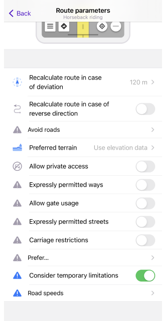
| Parameter | Description | Note |
|---|---|---|
| Avoid roads… | Select roads you want to avoid during navigation. You can either select a road on the map or choose road types from the list.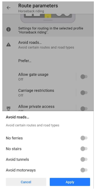 |
|
| Prefer… | You can choose whether to prefer routes for horses or not.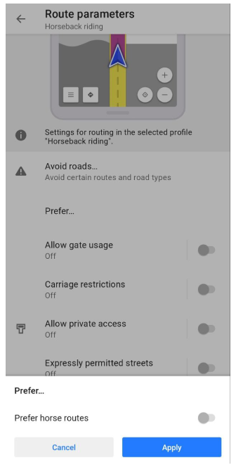 |
|
| Allow gate usage | Allow usage of gates. | A gate is a kind of barrier, that blocks movement. Usually it is a section in a wall or fence which can be opened or closed to allow or restrict access. |
| Carriage restrictions | Consider access permissions for horse-drawn vehicles. | In some countries, horse-drawn carriages are not permitted on motorways, they are only allowed on a very small number of other roads. |
| Allow private access | Private access restrictions will be ignored when route calculating. | Tag private is used in OSM to describe restrictions on the use of highways and other transportation routes, as well as buildings, entrances, amenities, and leisure entities. |
| Expressly permitted streets | Only use streets which are expressly permitted. | Only streets specially designated for horses will be used for routing. |
| Expressly permitted ways | Only use ways (tracks, paths, etc.) which are expressly permitted. | Only ways specially designated for horses will be used for routing. |
| Use elevation data | Projected travel time will reflect elevation impact.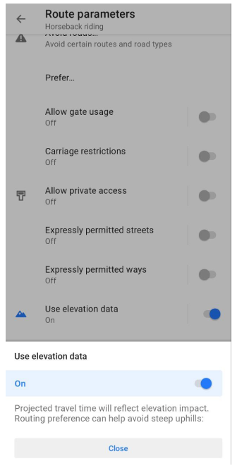 | This preference can help avoid steep uphills. Without elevation data the fastest route as on plain terrain will be calculated. |