Checking the Distance. Working with Measuring Tools


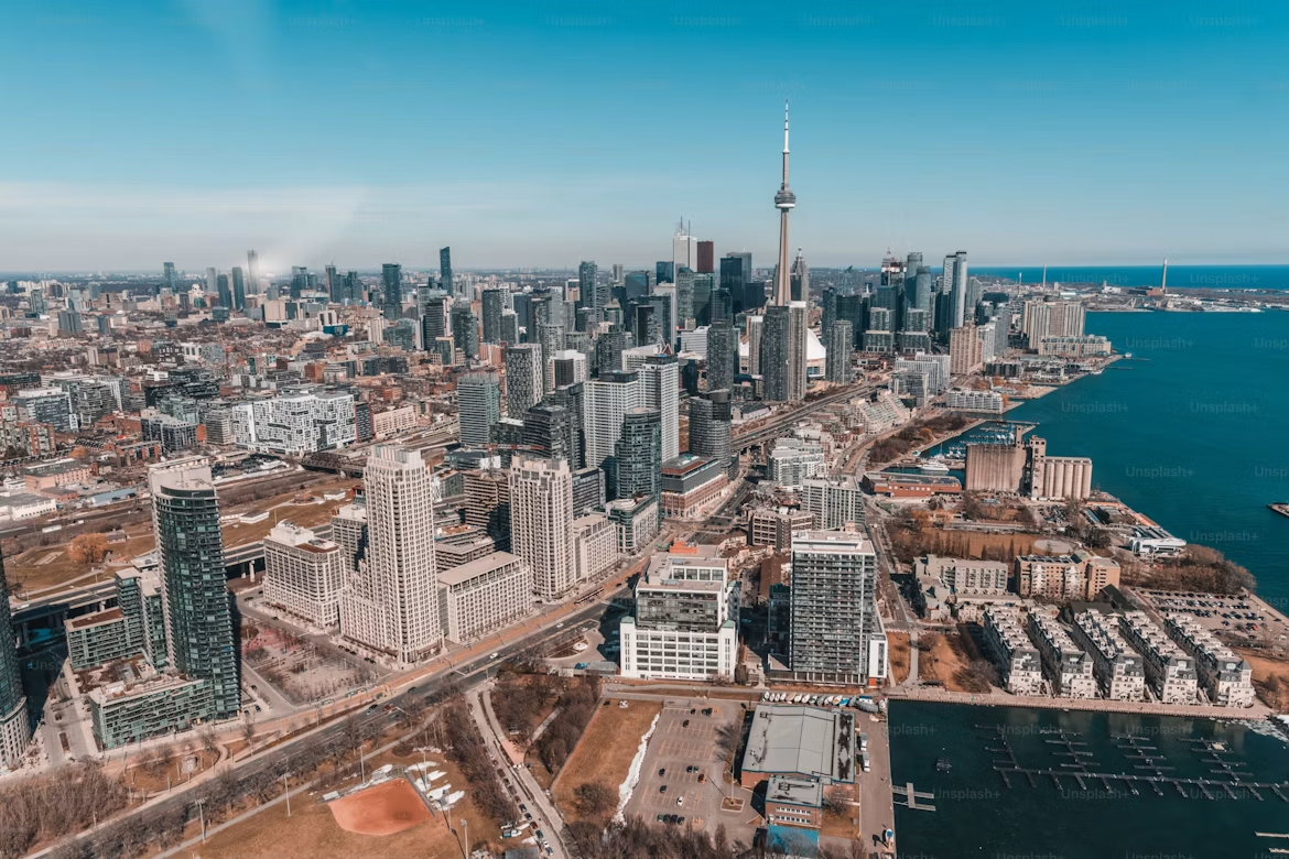
Running every morning is just what you do. No discussion — just the street and whatever distance feels right that day. Your running partner lives on Yonge Street. So do you. Same street, different ends — and when he suggested a 7 AM run "somewhere in the middle", it sounded simple enough.
Yonge Street is 56 kilometres long. The longest street in the world, according to Guinness. It starts at Lake Ontario and runs straight north through Toronto until it quietly disappears near Holland Landing. "Somewhere in the middle" turned out to be a question neither of you had actually answered. You were both on Yonge Street — technically neighbours — and had absolutely no idea how far apart you were standing.
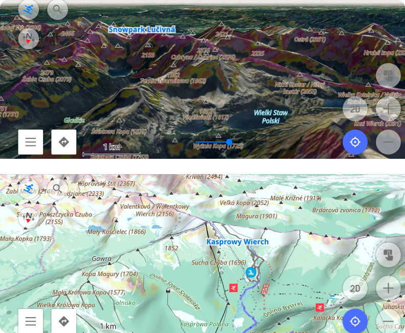
A few taps in OsmAnd, and the guessing stopped. Distance by tap, radius circles, a straight line to your meeting point — tools that turn a vague sense of scale into something exact.