Discover Patagonia with OsmAnd Web Explore
· 6 min read

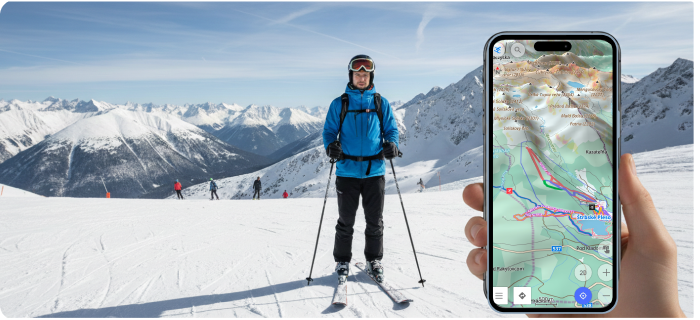
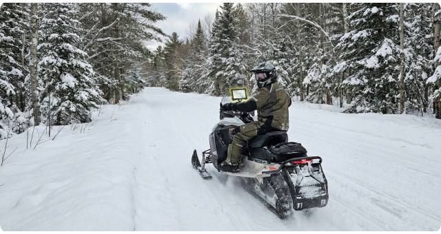
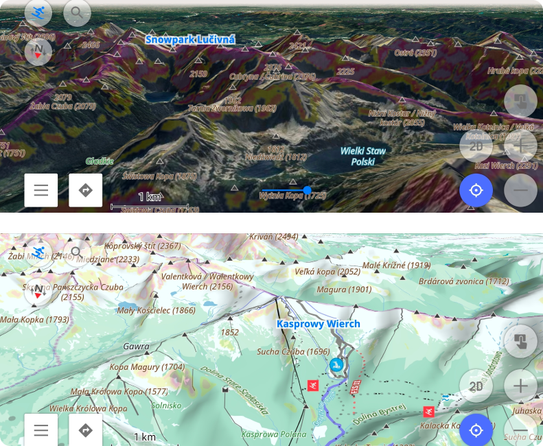
In classic adventure stories, traveling through remote regions meant you had to rely on maps, luck, and intuition. Patagonia — famously portrayed in "In Search of the Castaways" — was once a place of uncertainty and long, unpredictable routes. Today, exploring Patagonia can look very different with OsmAnd Web Explore. Modern tools make it easy to discover key places, explore what’s nearby, and plan routes across one of the world’s most spectacular regions.